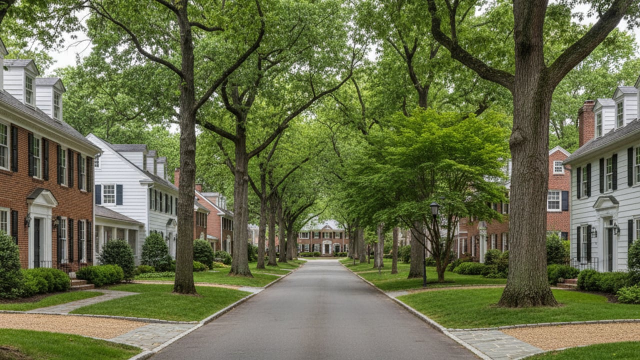
Relocating to Montgomery County often brings up immediate questions about daily commutes and local transit. Bethesda stands out as a major transportation hub that offers residents multiple ways to navigate the region without relying solely on a personal vehicle. Understanding the local infrastructure is essential for anyone evaluating homes in this busy corridor.
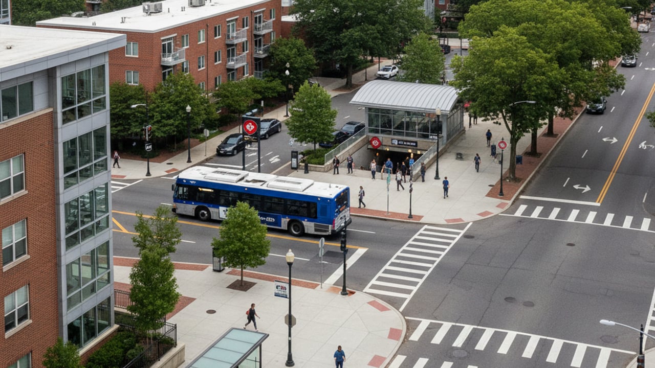
The downtown core features a dense, highly connected grid that blends heavy rail, local bus networks, and extensive pedestrian pathways. Getting around Bethesda, MD requires knowing how these different systems interact during peak travel hours. Buyers who map out their preferred transit routes before choosing a neighborhood often find their daily routines much smoother.
Getting to Washington, D.C. on the Bethesda Metro
The Washington Metro serves as the primary artery for residents commuting into the nation's capital. Boarding the Red Line at the Bethesda Metro Station provides a direct, reliable route into downtown Washington, DC. Transit times are highly predictable, with trips to Metro Center taking approximately 20 minutes and Union Station reachable in about 30 minutes.
Significant infrastructure updates are actively shaping how residents use this station in 2026. Commuters will need to plan for major Red Line station closures running from July 6 to September 6, 2026. The transit authority is providing free shuttle replacements during this period to maintain connectivity while crews complete essential upgrades.
Looking past the summer maintenance, the station is also preparing for the highly anticipated integration of the Purple Line. The ongoing construction will eventually link the area directly to other major hubs across Montgomery County and Prince George's County. Choosing a home near this expanding rail center offers exceptional long-term transit value for frequent commuters.
Taking the Free Bethesda Circulator Bus
Local transit within the downtown footprint is heavily supported by the Bethesda Circulator. This entirely free bus service operates Monday through Saturday, arriving at designated stops every 10 to 15 minutes. It provides a seamless way to travel between residential buildings, commercial offices, and retail districts without navigating heavy street traffic.
The route is strategically designed to connect the Metro station with eight different public parking garages. Riders frequently use the service to reach popular dining destinations at Bethesda Row or to travel back to their vehicles after an evening out. Residents can easily track the exact location of the next bus in real time using the RidePingo mobile application.
Relying on the Circulator is one of the smartest ways to avoid the premium costs associated with private parking lots. The consistent schedule and comprehensive loop make it an indispensable tool for daily errands. Buyers looking at condos in the central business district should consider proximity to a Circulator stop as a major property benefit.
Biking and Walking Around Downtown Bethesda
The downtown sector is engineered with high walkability in mind, featuring wide sidewalks and clearly marked crosswalks. Residents can easily access grocery stores, medical facilities, and entertainment venues entirely on foot. This pedestrian-first design significantly reduces the need for short, localized car trips.
Cyclists rely heavily on the Capital Crescent Trail, a premier paved route that connects Silver Spring down to Georgetown. The distance from the local trailhead to Georgetown is approximately seven miles, offering a scenic and traffic-free commuting alternative. Completing this ride takes most cyclists less than 45 minutes at a steady pace.
Trail access has been a major topic of local discussion due to recent infrastructure projects. The community is eagerly anticipating the targeted late spring to summer 2026 reopening of the trail segments affected by Purple Line construction closures. Once fully restored, this pathway will once again serve as the primary non-vehicular artery for the region.
Major Driving Routes and Commuting Arteries
While public transit is robust, many residents still depend on personal vehicles for regional travel across Maryland and Virginia. The area provides immediate access to I-495, commonly known as the Capital Beltway. This major interstate allows drivers to bypass the downtown Washington, DC congestion when traveling to neighboring suburban employment centers.
Navigating the local street grid requires an understanding of the primary commuting arteries that cut through the city. Traffic patterns shift dramatically based on the time of day and the specific direction of travel. Mastering these main roads is critical for anyone planning a daily driving commute from their new home.
Navigating Route 355 and the East-West Highway
Wisconsin Avenue, designated locally as Route 355, serves as the heavy-duty north-south artery funneling drivers directly into the capital. Commuters heading cross-county typically rely on East-West Highway, or Route 410, to reach Silver Spring and points east. Both of these roads carry a substantial volume of traffic and require strategic timing to avoid the worst bottlenecks.
Typical peak rush hours on these specific routes run from 7:00 AM to 9:00 AM and again from 4:00 PM to 6:30 PM. Drivers should expect their travel times to double during these heavy transit windows. Purchasing a property with easy access to alternative back roads can save buyers hundreds of hours in traffic over the course of a year.
Frequently Asked Questions
Can you live in Bethesda without a car?
Yes, living here without a personal vehicle is entirely possible and increasingly common. The combination of the Red Line, the free Circulator bus, and high pedestrian connectivity provides comprehensive transit coverage. Residents situated near the downtown core can easily walk to grocery stores and access regional transit hubs in minutes.
What are the biking options for getting around Bethesda?
The area features dedicated bike lanes on several major streets and extensive paved trail networks. The Capital Crescent Trail is the crown jewel of local cycling infrastructure, offering an approximate seven-mile, traffic-free ride directly into Georgetown. The targeted summer 2026 reopening of previously closed trail sections will further enhance these cycling routes.
Is the Bethesda Circulator free?
The Bethesda Circulator is completely free for all riders with no fare cards or boarding passes required. It operates on a continuous loop Monday through Saturday, arriving at stops every 10 to 15 minutes. This service efficiently connects eight public parking garages with major retail and transit centers.